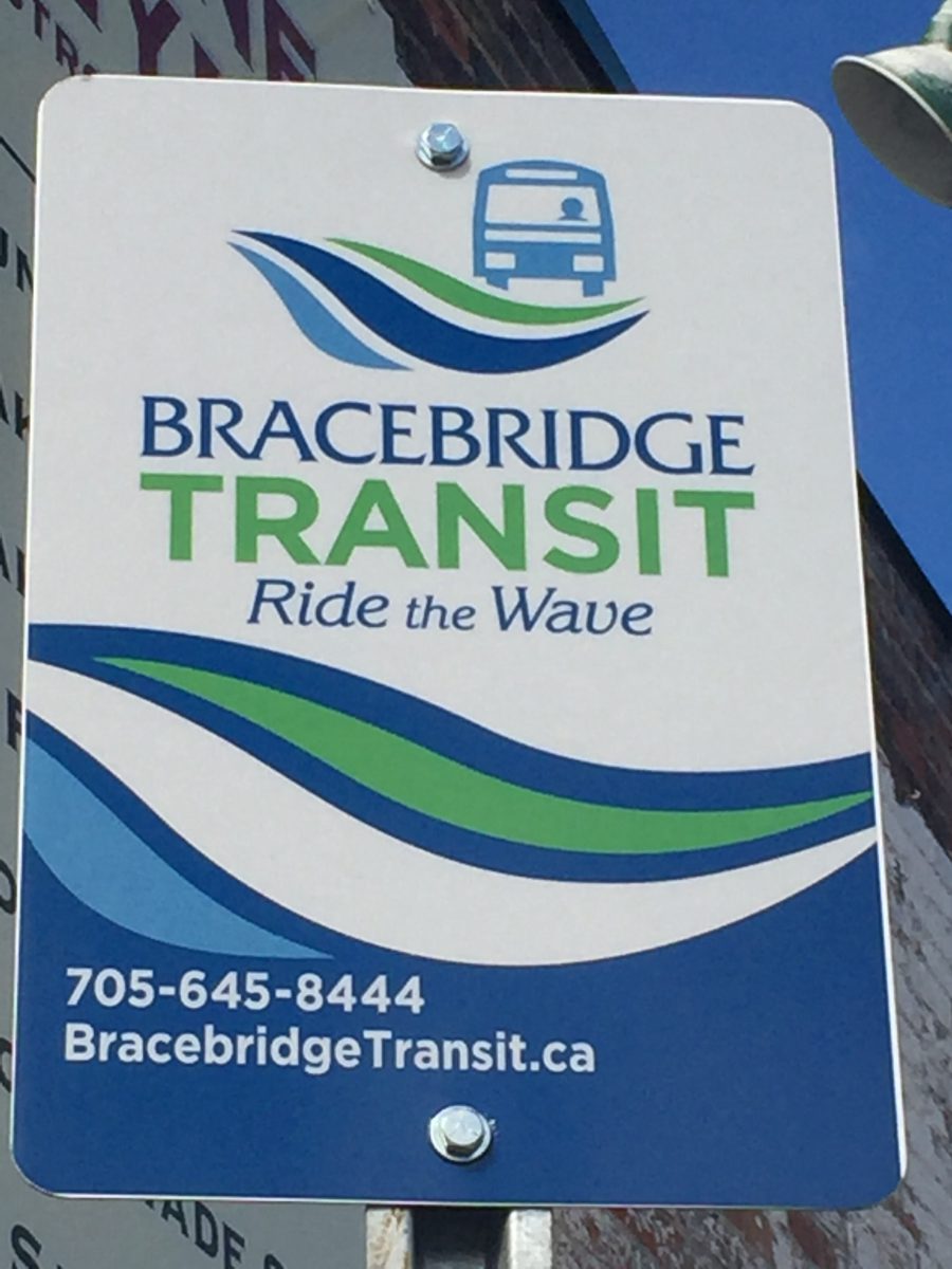
BRACEBRIDGE, ON – Planning a bus trip in the Town of Bracebridge just got a little easier.
Thanks to Google Maps people trying to figure out how to get from point A to point B in town can consult their phone app or on a computer and the details of taking the Wave bus will be an option.
“This initiative is aimed to improve the rider experience by providing an alternative of accessing transit information online, via computer or mobile device,” a statement reads in part.
Using the “directions” feature in Google Maps, transit users can access bus stops, the transit route and schedule, and trip duration.
“We continuously strive to implement new initiatives that make taking transit more appealing to more people,” said Geoff Carleton, Director of Public Works. “As with the “Where’s the Bus” Real-Time Map (RTM) technology showing the exact location of the bus on the route, as well as the estimated time for the next two arrivals, Google Maps will improve the accessibility of the public transit system, allowing for better route tracking and scheduling.”
To access the trip planner on Google Maps, visit www.google.ca/maps and for easy to follow instructions on how to use the planner, visit www.bracebridgetransit.ca


![Santana: Smooth [feat Rob Thomas]](https://is1-ssl.mzstatic.com/image/thumb/Music124/v4/f5/97/4c/f5974c1e-06cb-f84c-1da9-5f7505a20a0c/mzi.etsqfvqq.jpg/100x100bb.jpg)